MEDIA RELEASE – NOTTAWASAGA VALLEY CONSERVATION AUTHORITY
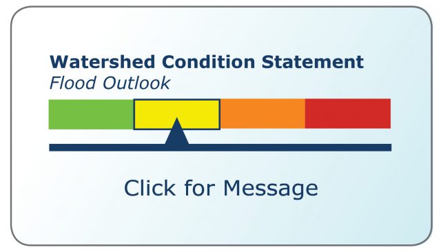
The Nottawasaga Valley Conservation Authority advises that warm temperatures and rain over the next 24 hours will cause our snowpack to melt and increase flows in area watercourses. The public and especially children are advised to stay away from all area water bodies as unstable ice cover, slippery banks and fast flowing watercourses will result in dangerous conditions.
The Surface Water Monitoring Centre (SWMC) of the Ministry of Northern Development, Mines, Natural Resources and Forestry (NDMNRF), is tracking a significant low-pressure system set to move into the NVCA watershed Wednesday February 16, 2022. The system will bring above zero temperatures and rainfall into the area, before it moves out on Thursday and temperatures drop back down below zero. Rainfall amounts of 10-15mm is expected Wednesday overnight, with an additional 10-15cm of snow or mixed precipitation possible on Thursday.
Melting snow and runoff will result in increases in stream flows and possible ice break up. No major flooding is anticipated, however local conditions may vary. At this time of year there is always the potential for localized flooding and ice jams.
The Nottawasaga Valley Conservation Authority continues to monitor river and stream conditions and will issue additional messages as conditions warrant. This statement will be in effect until Friday, February 18, 2022.
For additional information, please check our website at: www.nvca.on.ca


